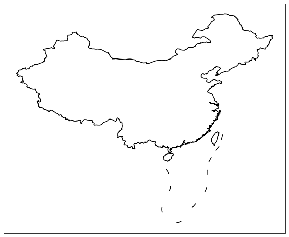
快速开始
用最简单直接的方式,来绘制你的第一张中国地图。
import cartopy.crs as ccrs
import matplotlib.pyplot as plt
from cnmaps import get_map, draw_map

fig = plt.figure(figsize=(10,10))
ax = fig.add_subplot(111, projection=ccrs.PlateCarree())
draw_map(get_map('中国'), color='k')
draw_map(get_map('南海'), color='k')

plt.show()